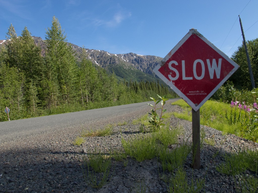
45 photos à découvrir!
Mise à jour le 9 septembre 2012: 24 photos supplémentaires à voir!

45 photos à découvrir!
Mise à jour le 9 septembre 2012: 24 photos supplémentaires à voir!
Aqui esta el segundo video hecho en Canada, desde Dawson City en Yukon hasta Kitwanga, en British Columbia, en las carreteras Klondike, Alaska y Cassiar. ¡A ver!
httpvh://www.youtube.com/watch?v=KWMSQ4xf2qU&
Here is the second video made in Canada, from Dawson City, Yukon, to Kitwanga, British Columbia, on Klondike highway, Alaska highway and Cassiar highway! Enjoy!
httpvh://www.youtube.com/watch?v=KWMSQ4xf2qU&
Voici la deuxième vidéo réalisée au Canada, entre Dawson City, au Yukon et Kitwanga, en Colombie-Britannique, sur les routes Klondike, Alaska et Cassiar! J’ai eu beaucoup de plaisir à le monter, en espérant que vous en aurez tout autant à le regarder!
httpvh://www.youtube.com/watch?v=KWMSQ4xf2qU&
 I was looking at that trail on my map for quite a few days. After the Dempster, Highway, why not another adventure, as if the Cassiar Highway was not enough. I had not yet begun the 720 kilometers of road that would take me further south into British Columbia as I wanted to follow the dotted line, south of Dease Lake, which led on a gravel road to the heights of Fort St. James. A kind of shortcut, at least, in kilometers, certainly not in time though. Moreover, it was closer to the Continental Divide. It’s only after Whitehorse that I saw that trail on my map, so looking for some more information about it on Internet was not an easy task.
This difficulty did not stop me from harassing Jörg on the potential of this shortcut trail, and it was likely that I might have to go it on my own if he would not agree.